I’ve been fascinated by Pico del Teide since spotting it the first time from Pico de las Nieves on Gran Canaria. I was also able to see the highest point above sea level in the islands of the whole Atlantic from La Gomera and La Palma. Reaching 3,718 meters above sea level, Teide is considered the Earth’s third-tallest volcanic structure.
Preparing the ascent
It’s not easy to ascend Pico del Teide. Apart from from being fit, you also need a special permit to climb the summit. The permits are free of charge but book out quickly. I was able to shot a permit in January while I was on Lanzarote. The permit authorized me to access the peak between 3pm to 5pm on March 8th.
The parking lot at the beginning of the trail looked very small on Google Maps. It only seemed to fit 12 cars. The day before my hike, I drove to the parking assuming it would be easier to find a free spot in the evening when most of the hikers returned from their trip. When I arrived around 5pm the parking was still full but cleared quickly. By 6pm my van was parked in front of the hiking trail and I was able stroll around the area before going to bed early.
When I woke up at sunrise, the parking lot was already full again.
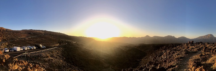
I left my van around 10:30am and started hiking toward the summit.
The sun was shining and it was warm enough to wear a T-shirt. After two hours, I was about 3,000 meters above sea level.
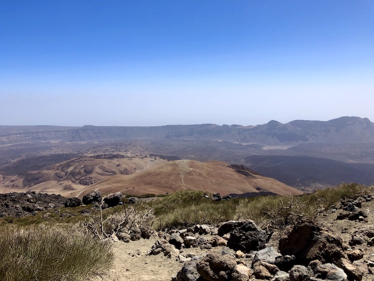
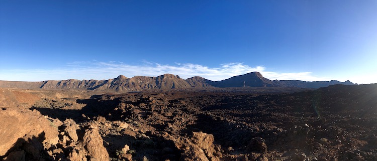
I put on my long-sleeve because the sun seemed quite aggressive and the air was much colder up there. The trail got more narrow and steeper. The landscape also changed. At 3,200 meters above sea level, there were only black lava rocks.
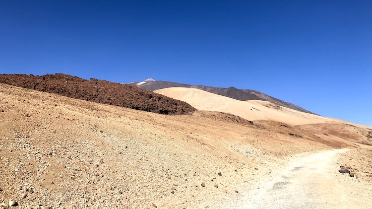
I even spotted some snow and ice 3,400 meters above sea level.
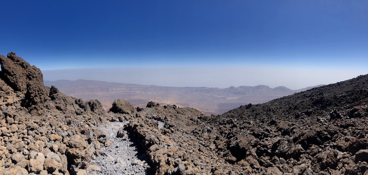
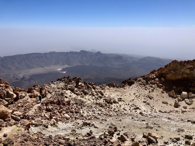
The further I ascended, the slower I became. By the time I reached the observation deck Mirador La Fortaleza about 3,500 meters above sea level, I exhaustedly came across a bunch of relaxed tourists. Some of them were wearing T-shirts and flip-flops. They obviously took the cable car and didn’t walk here. Most of the visitors didn’t have a permit to climb the summit, so they only stayed for a couple minutes, took some pictures and rode the cable car back to their cars.
The guard checking the permits was a nice guy. He allowed me to pass although I arrived more than an hour too early.
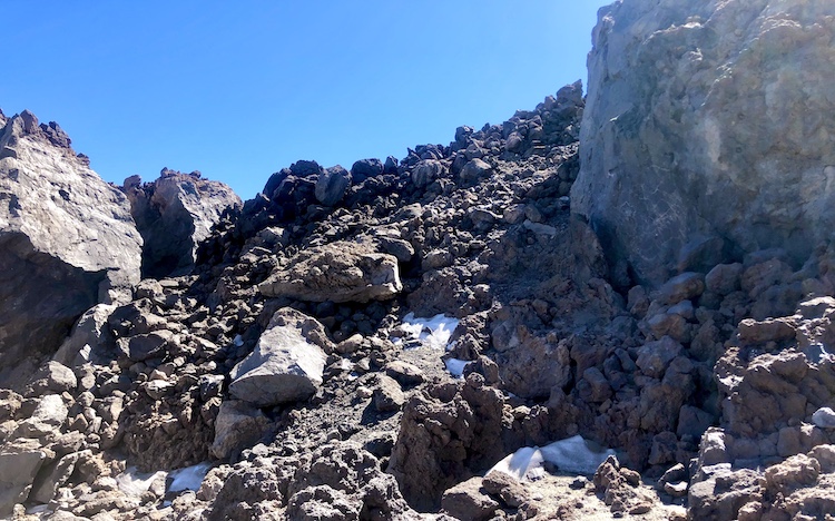
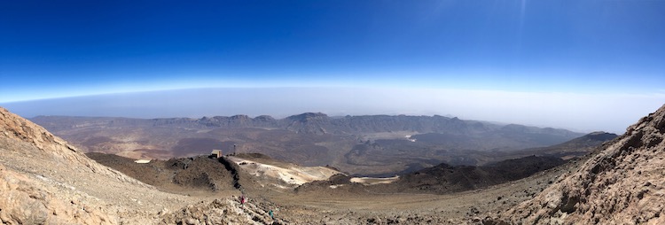
The last 180 meters in altitude were really exhausting. The trail was really steep. Additionally, the low oxygen level and the sulfur vapor coming out of the crater made it hard to breath comfortably. The view over the cable car station on my way to the summit was literally breath taking. ![]()
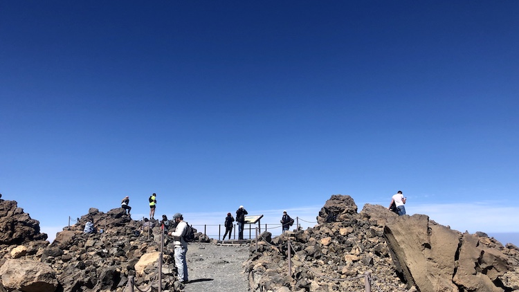
I climbed up all the way to the top. 3,718 meters above sea level. Wow! ![]()
The peak provided a 360 degree view over the whole island. Although it was a little cloudy, I was able to see Puerto de la Cruz and the northern coast.
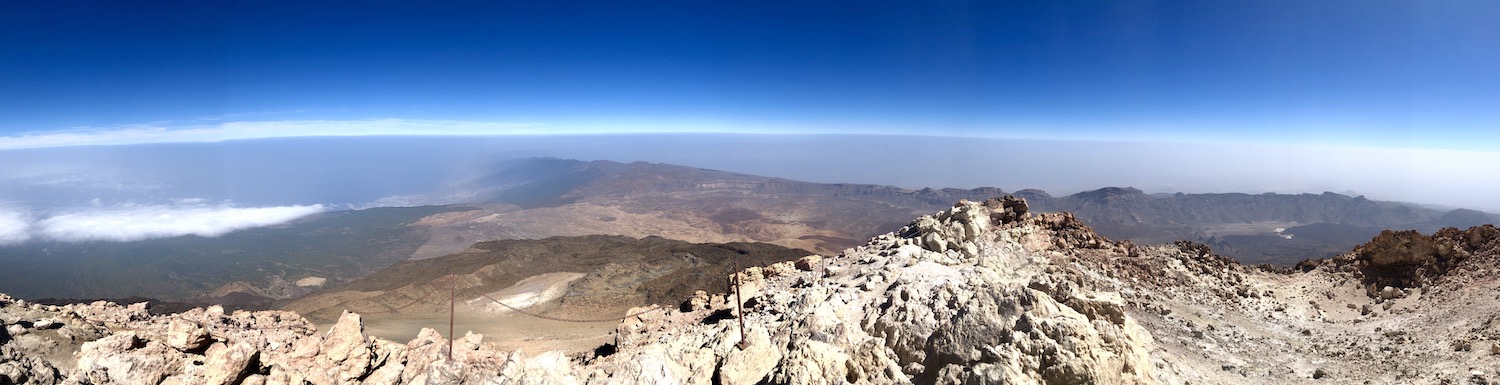
The southern coast was mostly covered in clouds.
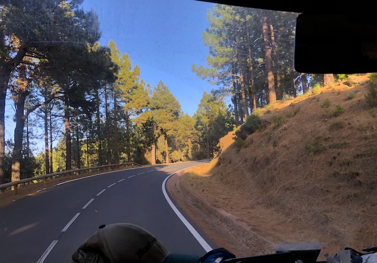
I cheerfully started the descent. The lower the altitude, the more energized I felt. What a great hike! It took me about 4 hours to get up and about 2 hours to get down. I came back to my van by 5pm. So, there was enough time left to drive through the woods on road TF-24 to the port of Santa Cruz de Tenerife.
After visiting all the seven main islands, I headed back to Lanzarote where I started my trip through the Canaries in January. I felt like spending one more relaxing week together with Marco who I met on Fuerteventura before taking the ferry back to the Spanish mainland.